The Northern Adriatic Sea is a crucial area where marine resources exploitation strongly depends on the influence of the marine ecosystem functioning and quality. Nutrients and suspended matter input from Po and other rivers fuel plankton productivity make it one of the most productive areas in the Mediterranean Sea. However, seasonal evolution of planktonic productivity promoted by river input and onset of summer stratification might lead to eutrophication and, in particular, hypoxia.
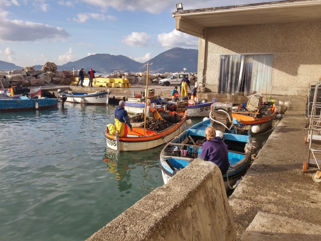
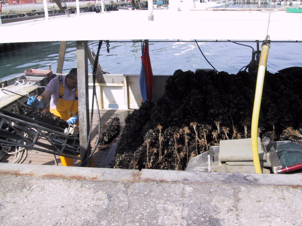
In the Pilot site several mariculture activities are spread along the coastline mainly farming Mediterranean mussel (Mytilus galloprovincialis), and are placed in very different bathymetric, hydrographic, and sediment conditions, which require specific information and dedicated management operations. The information services, by integrating operational modelling and remote sensing data, provide specific information for defining maps of suitability conditions for spatial farm management and represent an alerting system for hazardous conditions including heat waves and oxygen depleted conditions.
The systems are based on a coupled hydrodynamical-biogeochemical model (MITgcm-BFM) and on remote sensing observations of sea surface temperature and chlorophyll content.